
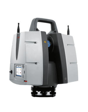
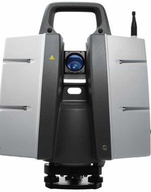
Leica RTC360 3D Laser Scanner
Leica RTC360 3D Laser Scanner
Leica RTC360 Laser Scanner is the new solution empowering users to document and capture their environments in 3D.
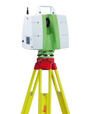
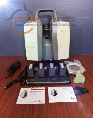
Leica ScanStation C10
Leica ScanStation C10
Leica ScanStation C10 platform represents the most capabilities and best value packed into a single laser scanner instrument. Users can take advantage of surveyor-friendly, onboard total station-like control or use an external laptop for even more powerful, onsite viewing and data processing.
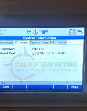
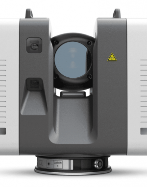
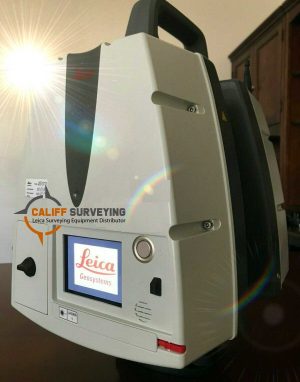
Leica ScanStation P30 3D Laser Scanner
Leica ScanStation P30 3D Laser Scanner
The Leica ScanStation P30 3D Laser Scanner is a terrestrial laser scanning (TLS) solution built for professionals who need reliable accuracy and consistent point cloud quality on real projects. It’s commonly used for as-built documentation, construction verification, topographic mapping, and industrial facility scanning, helping teams capture detailed site conditions for modeling, clash detection, and measurement deliverables.
Leica ScanStation P40 3D Laser Scanner
Leica ScanStation P40 3D Laser Scanner
The Leica ScanStation P40 is a long-range terrestrial laser scanner built for demanding reality capture projects where accuracy and reliability matter. It’s widely used for topographic surveys, as-built documentation, industrial plant scanning, and forensics, helping teams capture dense, high-quality point clouds for modeling, clash detection, and verification.
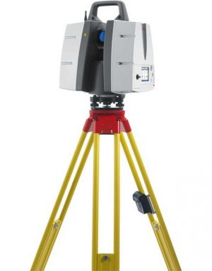
Leica ScanStation P50 3D Terrestrial Laser Scanner
Leica ScanStation P50 3D Terrestrial Laser Scanner
Leica ScanStation P50 3D Terrestrial Laser Scanner combines all the well-known features of the P40 plus a longer-range scanning capability of more than 1 kilometer. Adding this feature enables professionals to capture 3D scans at great distances with angular accuracy paired with low range noise and survey-grade dual-axis compensation.

Leica TS 12 Robotic Total Station
Leica TS 12 Robotic Total Station
Leica Viva TS12 is a robotic surveying package that will find, lock, and measure up to 1000m with a single keypress.

Leica TS13 Mid-Range Robotic Total Station
Leica TS13 Mid-Range Robotic Total Station
Leica TS13 total station provides a fast, reliable, and efficient solution tailored to the users needs to measure and layout more points.
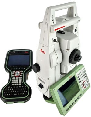
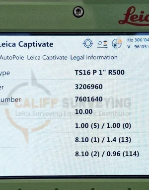
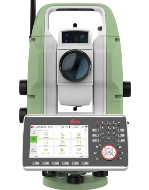
Leica TS16 P 1″ R500 Robotic Total Station CS20
Leica TS16 P 1″ R500 Robotic Total Station CS20
Meet the world’s first self-learning total station. Automatically adjusting to any environmental conditions, the Leica Viva TS16 locks onto your, and only your, target.
Leica TS20 Robotic Total Station I – Imaging / R1600 / 1″
Leica TS20 Robotic Total Station I – Imaging / R1600 / 1″
Leica TS20 delivers a next-level total station experience, empowering surveyors to work faster with fewer mistakes and total confidence.


Leica Viva GS14
Leica Viva GS14
Leica Viva GS14 is a compact and powerful GNSS smart antenna, suited for any measuring task with integrated mobile communications and UHF modem.

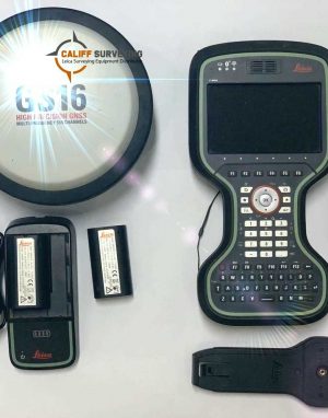
Leica Viva GS16 GNSS Smart Antenna
Leica Viva GS16 GNSS Smart Antenna
Leica Viva GS16 is the most compact and powerful, self-learning GNSS smart antenna. Working with the leading RTK technology, the Viva GS16 meets the highest standards in measurement excellence with RTKplus and SmartLink.


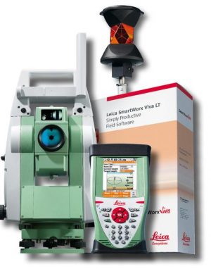
Leica Viva TS15 R30 1″ Robotic Total Station
Leica Viva TS15 R30 1″ Robotic Total Station
Leica Viva TS15 adds an advanced image sensor to the already proven total station sensors. With unique capture-sketch-link functionality, total station images can be captured, enhanced with sketching, and linked to any point of interest.
